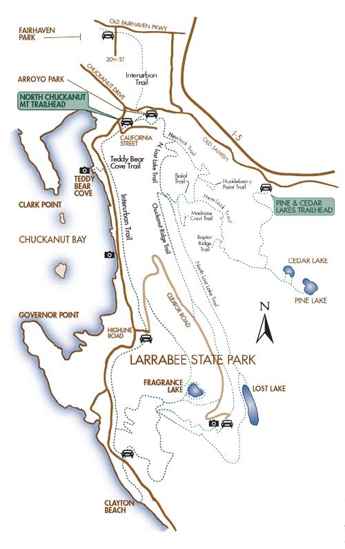
Clark's Point
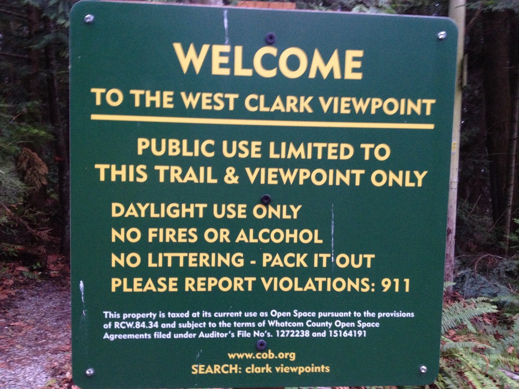
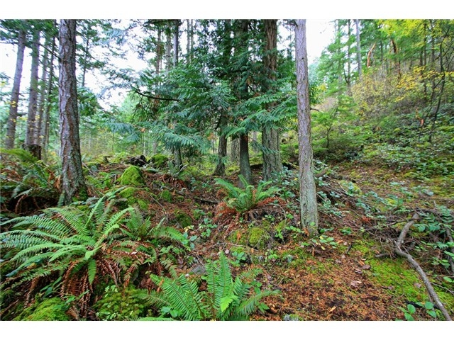
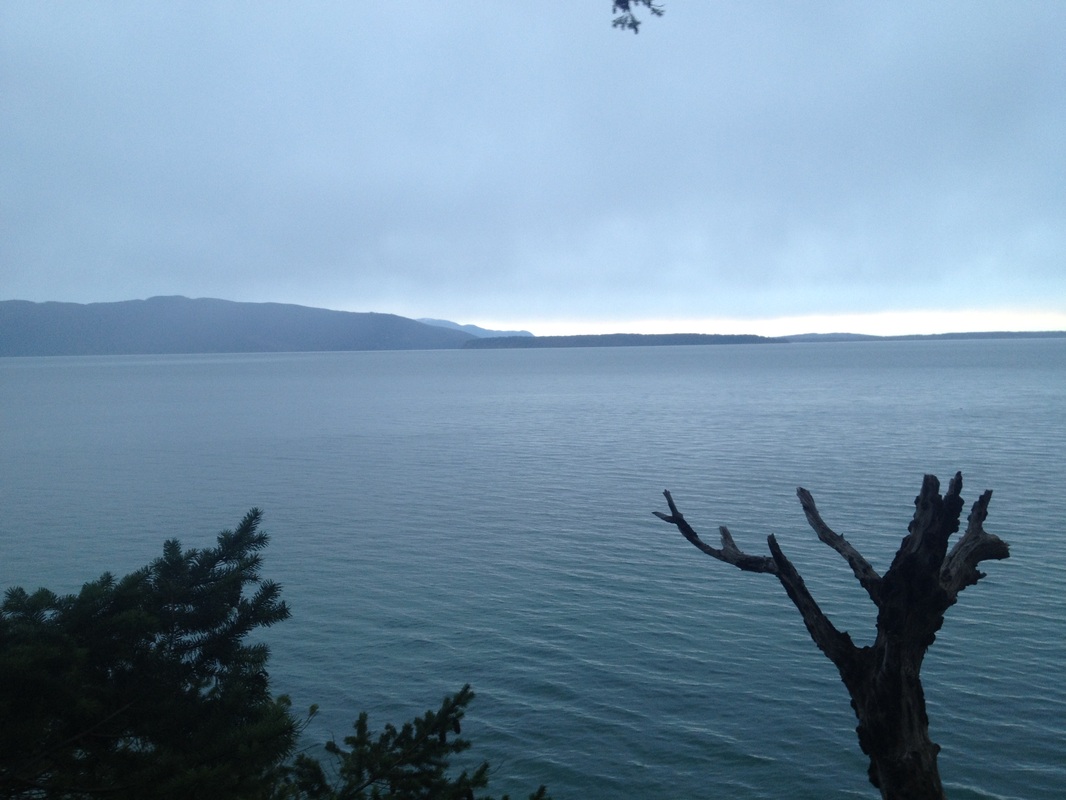
This is one of the best coastal hikes that Bellingham has to offer. It's located in a large, steep, heavily wooded peninsula, commonly known as Clark's Point, which extends into Bellingham Bay, forming the western boundary of Chuckanut Bay.The western trail offers spectacular views of the San Juans. Right when you get to the first clearing, you can see Lummi Island straight ahead as you face West. If you look Southwest, you can see Vendovi Island and Guemes Island, as well as some of the other San Juans in the distance. The eastern trail provides more opportunity to explore the coastal environment. This short trail takes you to the Chuckanut Creek Estuary which is at the North end of Chuckanut Bay. Clarks Point is protected from further development with a conservation easement. City-owned greenway and tidelands provide public access to Chuckanut Bay.
Park Hours: every day dawn – dusk
Address: Southern End of Fieldston Road
Bellingham, WA 98225
Park Hours: every day dawn – dusk
Address: Southern End of Fieldston Road
Bellingham, WA 98225
Getting to clarks point requires a little bit of local knowledge, since the trailhead is only accessible through a residential area.
- Coming from I-5 N or I-5 S, take Exit 250
- Head West on Old Fairhaven Parkway towards Fairhaven
- Take a left on 12th Street in Fairhaven
- Take a slight Right on Hawthorne Rd
- Take a Left on Fieldston Rd
- Drive through the Edgemoor neighborhood on Fieldston until posted signage saying you can't park any further.
- Walk up road 100 yards or so, trailhead will be on your right
